An interdisciplinary perspective on generalising and highlighting buildings in their urban context
Abstract
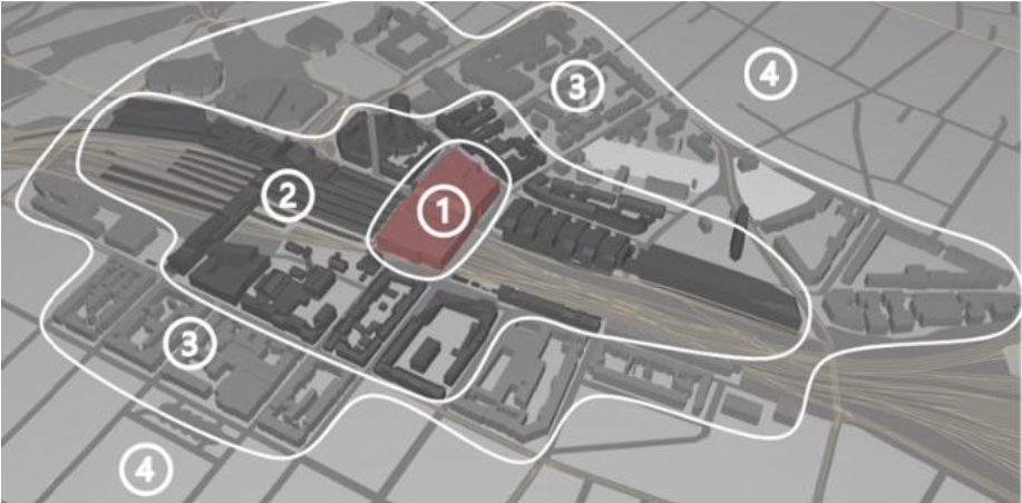
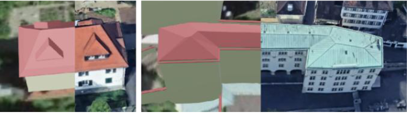
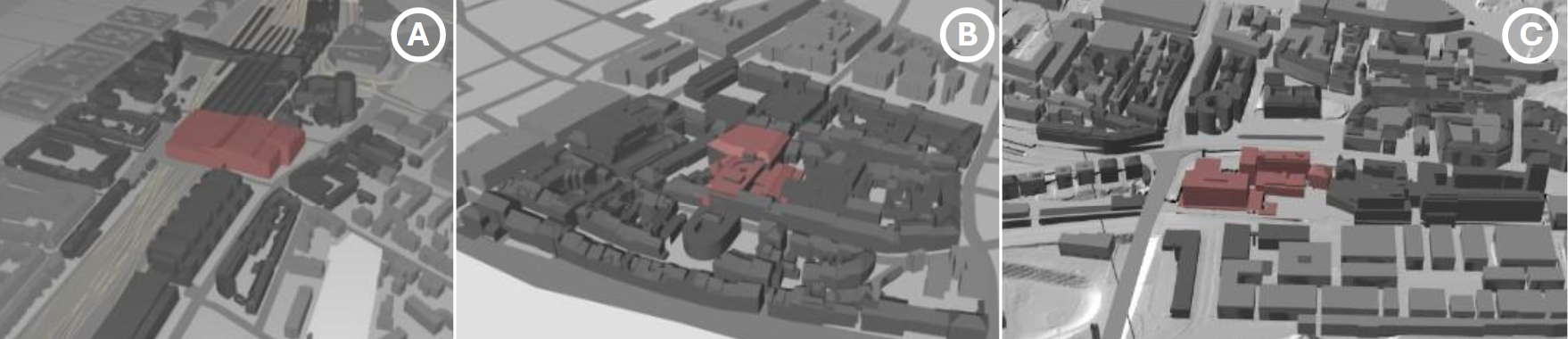
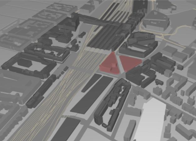
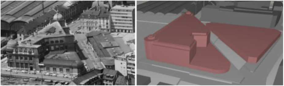
The analysis of historical urban transformations and the development of the built environment as a whole is an important branch of research within architectural history. One of the challenges in this type of research is the appropriate visual 3D representation of these historical changes, both as a means of analysing them within the research and communicating the research findings. Conventional sources such as 2D plans and archival documents often fail to capture the spatial relationships and transformations within the built environment, necessitating the development of an appropriate visualisation concept. The concept uses 3D models with different levels of generalisation to visualise urban change in focus and context areas, suitably balancing abstraction and detail. A visualisation process was developed allowing highlighting building volumes and their contexts. The levels of generalisation include detailed representations and reconstructions, generalised building forms and block edge models. The levels are delimited by urban elements such as streets or rivers. The process utilises various sources of information, such as archive plans and historic photographs, to approximate historic structures. Key urban elements – landmarks and infrastructure such as streets and rivers – are integrated, and geometric abstractions and colour are used to direct the viewer’s attention to selected focus areas. The approach was tested in selected urban environments with different urban morphologies. The results show the transferability of the approach to different urban environments and provide a tool for analysing the architectural historical development of urban building structures and for communicating research findings to a wider audience.
Figures
BibTeX
@inproceedings{bronowicz_highlightingBuildingsInUrbanContext_2025,
 abstract = {The analysis of historical urban transformations and the development of the built environment as a whole is an important branch of research within architectural history. One of the challenges in this type of research is the appropriate visual 3D representation of these historical changes, both as a means of analysing them within the research and communicating the research findings. Conventional sources such as 2D plans and archival documents often fail to capture the spatial relationships and transformations within the built environment, necessitating the development of an appropriate visualisation concept. The concept uses 3D models with different levels of generalisation to visualise urban change in focus and context areas, suitably balancing abstraction and detail. A visualisation process was developed allowing highlighting building volumes and their contexts. The levels of generalisation include detailed representations and reconstructions, generalised building forms and block edge models. The levels are delimited by urban elements such as streets or rivers. The process utilises various sources of information, such as archive plans and historic photographs, to approximate historic structures. Key urban elements – landmarks and infrastructure such as streets and rivers – are integrated, and geometric abstractions and colour are used to direct the viewer's attention to selected focus areas. The approach was tested in selected urban environments with different urban morphologies. The results show the transferability of the approach to different urban environments and provide a tool for analysing the architectural historical development of urban building structures and for communicating research findings to a wider audience.},
 author = {Bronowicz, Carolin and Schröter, Anne-Catherine and Bleisch, Susanne},
 booktitle = {Advances in Cartography and GIScience of the Int. Cartographic Association},
 doi = {10.5194/ica-adv-5-6-2025},
 pages = {6},
 title = {An interdisciplinary perspective on generalising and highlighting buildings in their urban context},
 url = {https://doi.org/10.5194/ica-adv-5-6-2025},
 volume = {5},
 year = {2025}
}