More than rendering – printed tourist maps and an interactive 3D information system from highly detailed 3D landscape models
Abstract
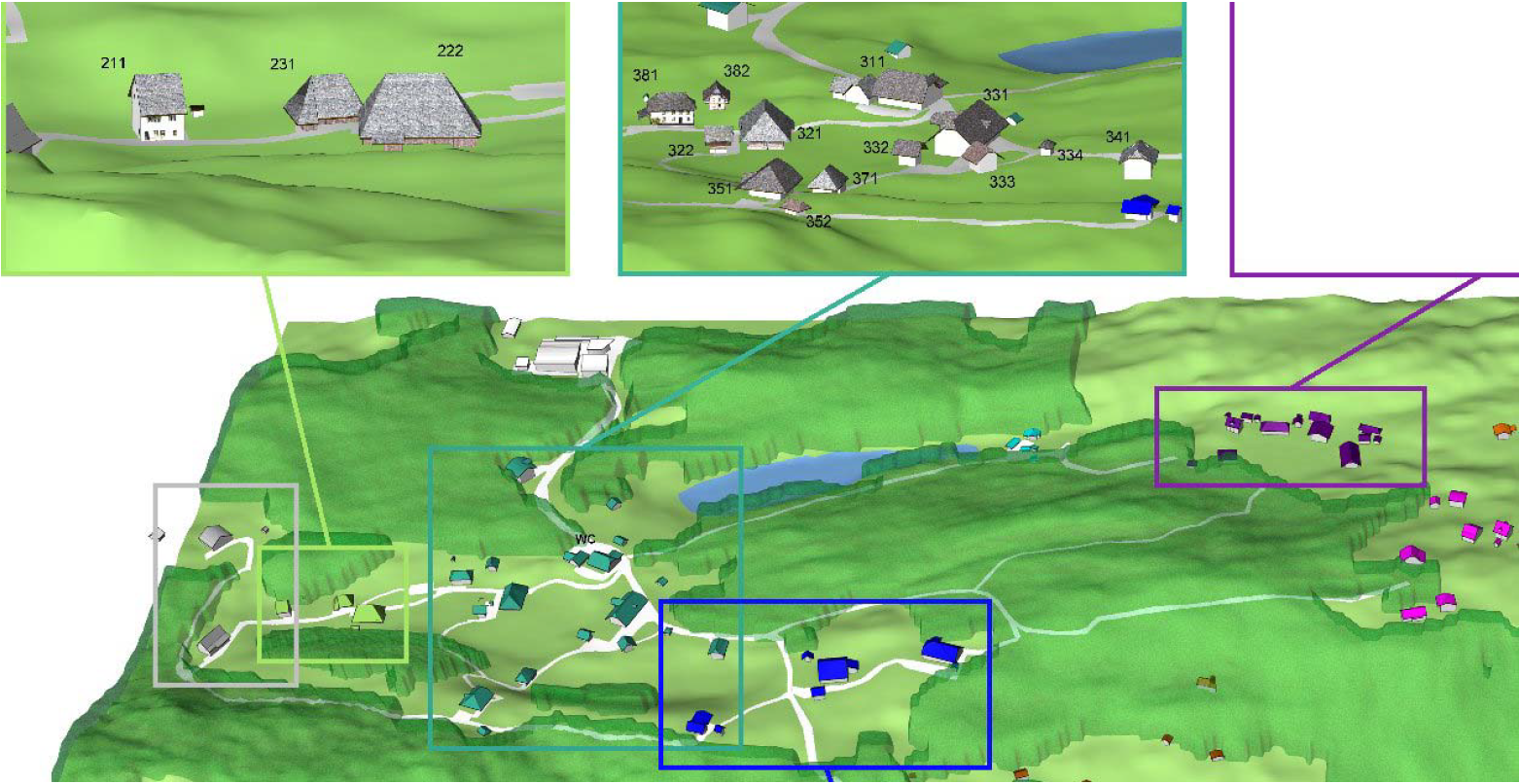
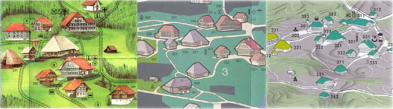
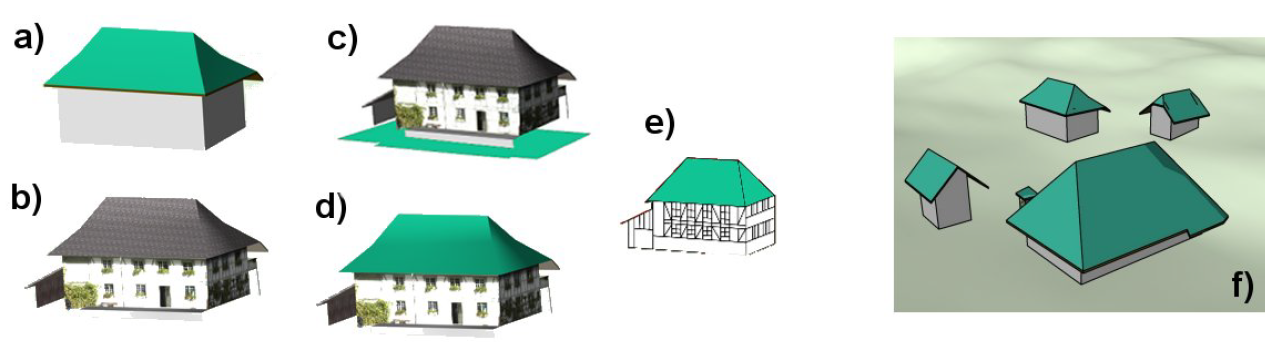
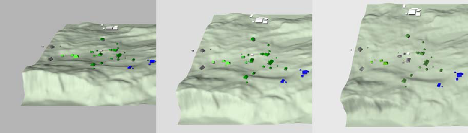
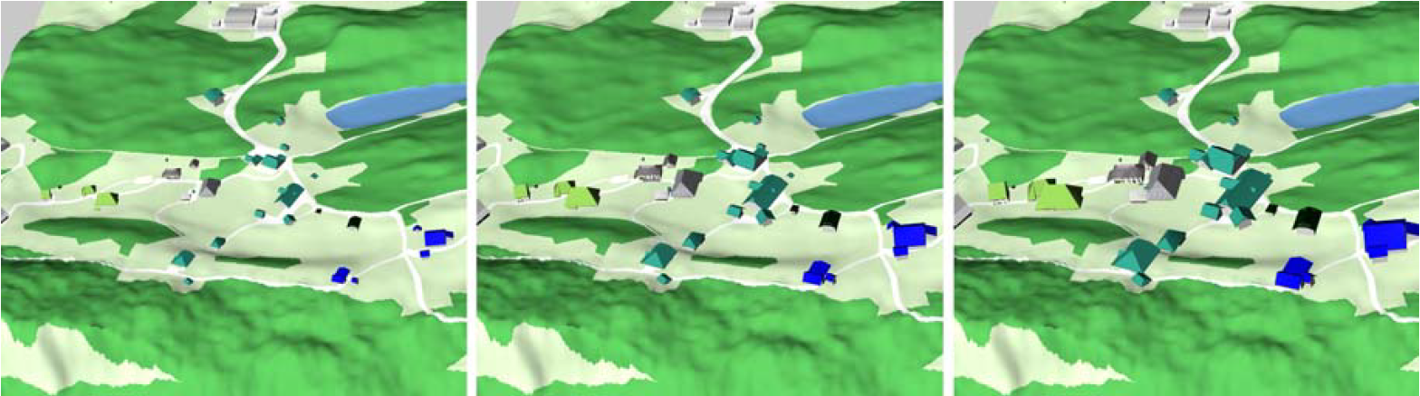
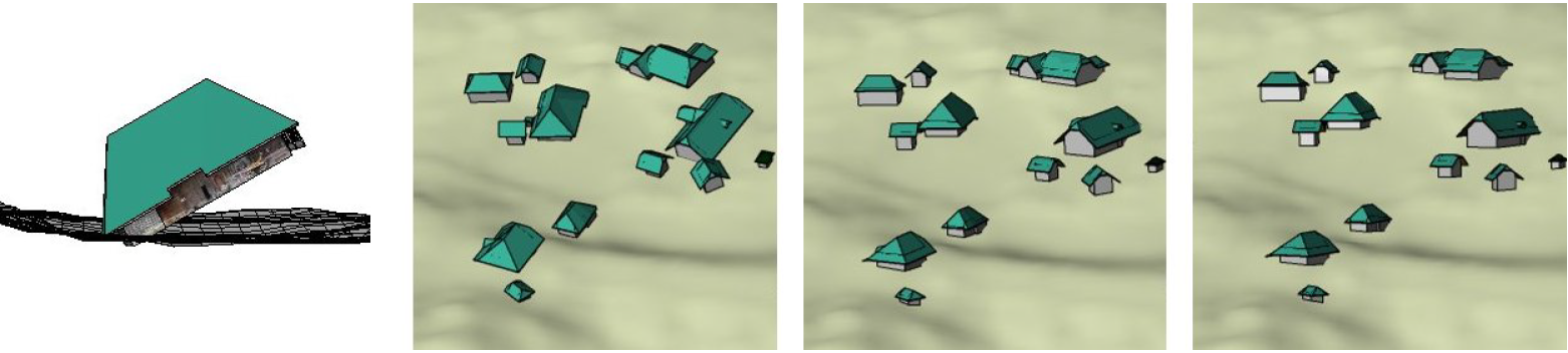
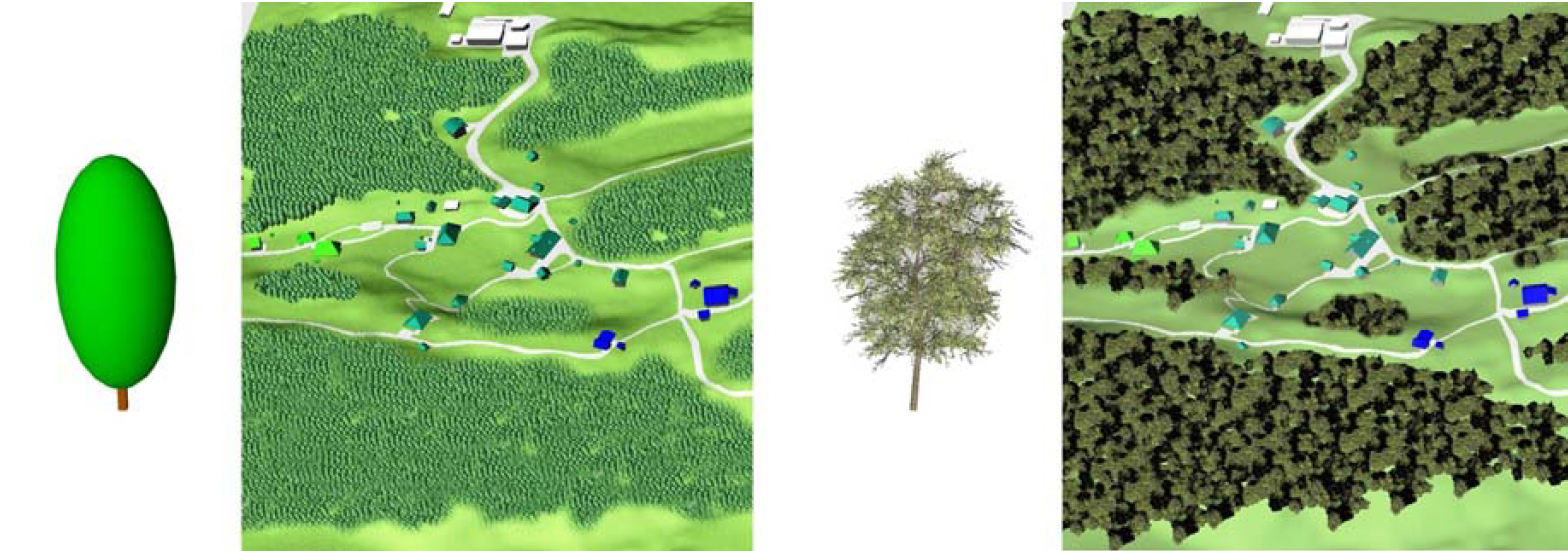
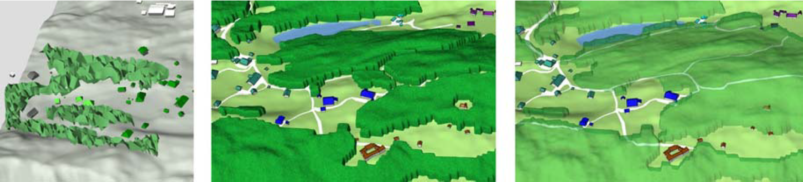
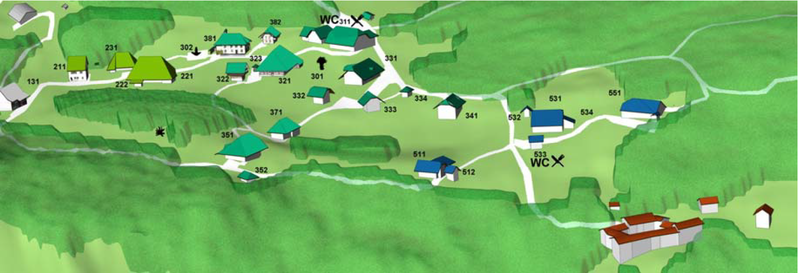
The management of the open-air museum Ballenberg with about 100 original century-old buildings from all over Switzerland plans an attractive new overview map and a 3D information system of the museum area and exhibits. In this paper we investigate how highly detailed 3D terrain and building models can be utilised as base data for a printed 2D overview map of the Ballenberg area. Several aspects are found to influence the creation of effective 2D tourist maps of the area. The project uses Cinema 4D to vary and analyse visualisation parameters like viewing angle, textures, alignment, etc. of the view, the terrain, the buildings and the woods. Discussing the advantages and disadvantages of the different parameters two different types of maps of the museums area are proposed. The first is similar to the current overview map of Ballenberg and the second uses a map-like overview window and several zoomed views to show details.
Figures
BibTeX
@inproceedings{bleisch_moreThanRenderingBallenberg_2007,
 abstract = {The management of the open-air museum Ballenberg with about 100 original century-old buildings from all over Switzerland plans an attractive new overview map and a 3D information system of the museum area and exhibits. In this paper we investigate how highly detailed 3D terrain and building models can be utilised as base data for a printed 2D overview map of the Ballenberg area. Several aspects are found to influence the creation of effective 2D tourist maps of the area. The project uses Cinema 4D to vary and analyse visualisation parameters like viewing angle, textures, alignment, etc. of the view, the terrain, the buildings and the woods. Discussing the advantages and disadvantages of the different parameters two different types of maps of the museums area are proposed. The first is similar to the current overview map of Ballenberg and the second uses a map-like overview window and several zoomed views to show details.},
 author = {Bleisch, Susanne and Nebiker, Stephan},
 booktitle = {ICC International Cartographic Conference, Moscow},
 title = {More than rendering – printed tourist maps and an interactive {3D} information system from highly detailed {3D} landscape models},
 year = {2007}
}